
Mining
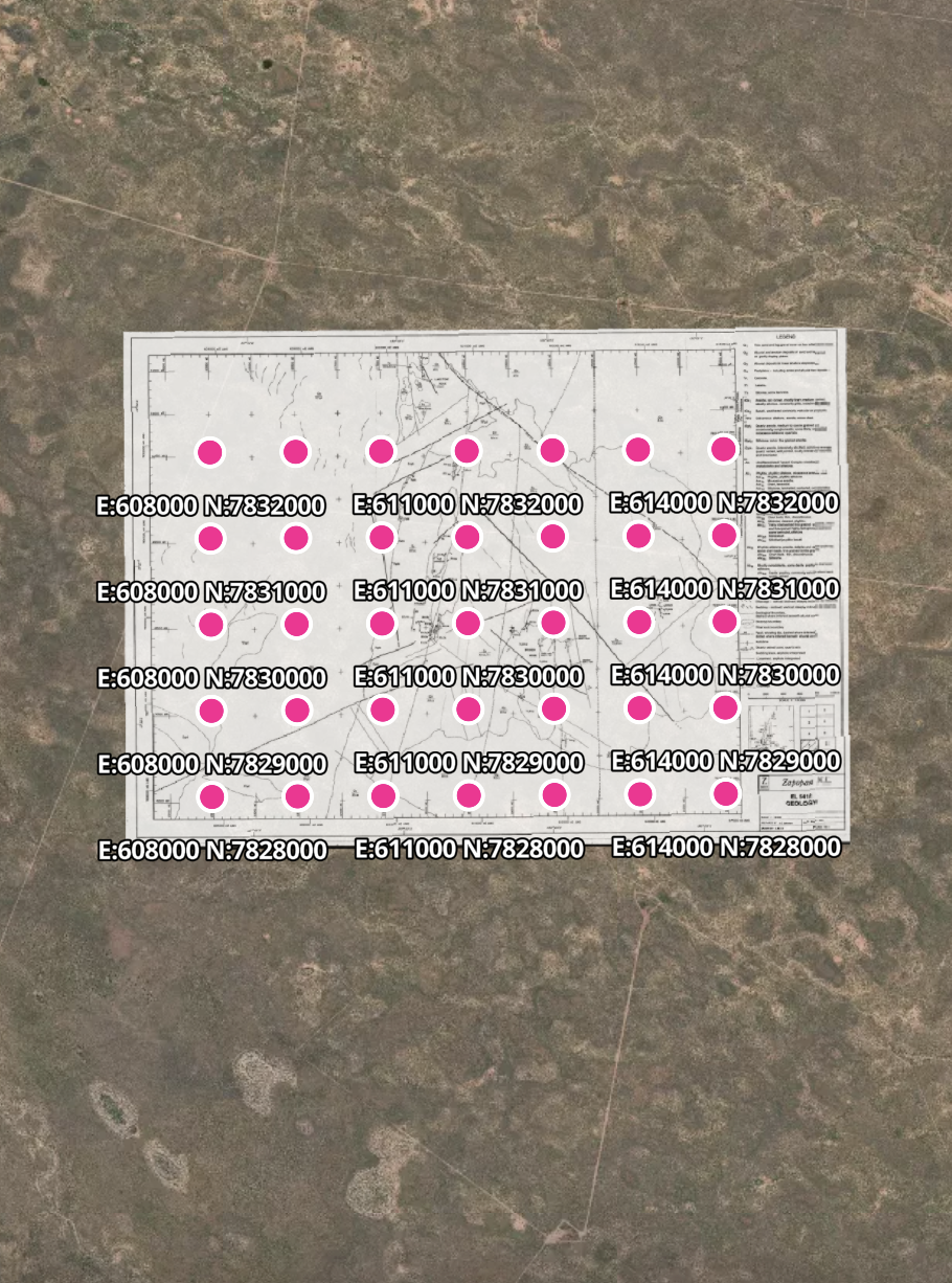
Mining companies spend years georeferencing historical maps, surveys, and exploration data by hand. Monarcha automates the entire workflow, from century-old claim maps to drilling records, delivering sub-meter accuracy in minutes. Focus on finding deposits, not digitizing paper.
From exploration to production
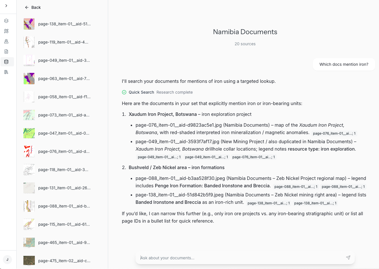
Historical claim maps that take geologists days to georeference are ready in minutes. Drilling logs, assay reports, and field notes become instantly searchable with AI-powered document intelligence. Query decades of exploration data in natural language, extract coordinates from any projection system, and overlay legacy surveys on modern GIS.
-
Historical claim maps, geological surveys, drilling logs, assay reports, land patents, exploration permits, field notes, and any georeferenced document in any coordinate system.
-
Sub-meter accuracy for most documents. We handle complex projection systems including local mine grids, NAD27/83 conversions, and historical datums that GIS software struggles with.
-
Click here to book a demo. We'll be in touch shortly to get you set up.
-
Contact our support team at founders@monarcha.ai for any other questions.