
Civil Engineering
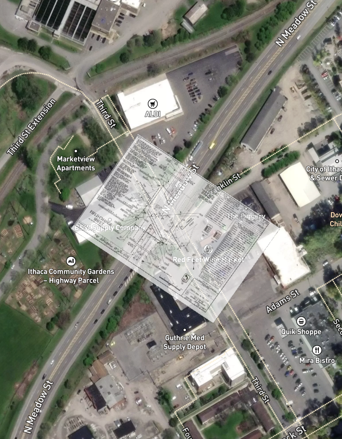
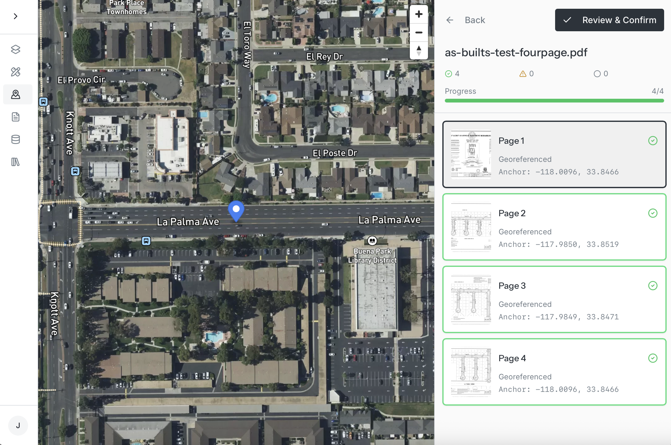
Infrastructure projects drown in paper maps and as-built drawings that take days to digitize manually. Monarcha automates georeferencing and extracts precise X-Y coordinates from every as-built, turning filing cabinets of construction documents into actionable spatial data in minutes
Build on accurate data
As-built drawings from decades of construction become instantly usable. Monarcha georeferences survey maps, site plans, and utility drawings while automatically extracting X-Y coordinates for every feature, manholes, valves, poles, and structures. No more coordinate hunting. Upload thousands of construction documents and get back a complete spatial database ready for your GIS, CAD, or planning systems.
-
As-built drawings, survey maps, site plans, utility maps, ROW plats, subdivision plans, construction drawings, and any document with spatial coordinates or features that need georeferencing.
-
Sub-meter accuracy for most documents. We handle complex projection systems, low quality scanned docs and noisy drawings that GIS analysts can struggle with.
-
Click here to book a demo. We'll be in touch shortly to get you set up.
-
Contact our support team at founders@monarcha.ai for any other questions.