Monarcha: AI-Powered Georeferencing and Map Digitization
Georeference and extract any document, automatically.
Monarcha is AI-powered geospatial intelligence.
Carta Geológica
Atacama, Chile
Any map. Any projection. Sub-60 seconds.
Upload a scanned geological, topographic, or legacy map. Monarcha identifies the coordinate system, matches control points, and georeferences automatically, including local mine grids, UTM, and custom projections. Output as GeoTIFF or vector shapefiles.
Learn about georeferencing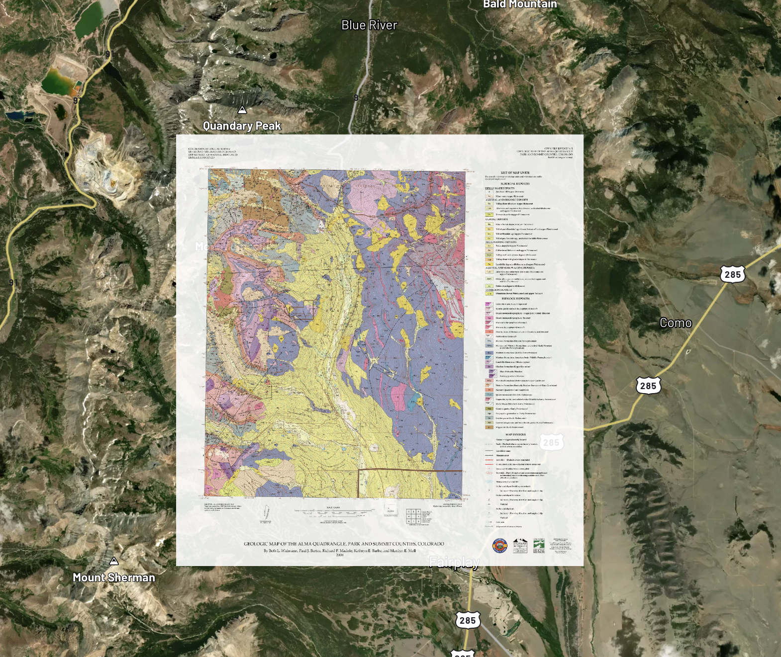
USGS map
Layers
Polygons, lines, and points. Extracted from any map.
Beyond georeferencing, Monarcha digitizes geological units, fault lines, drill hole markers, and any other features on your maps into vector layers. Edit, refine, and export as shapefiles. State-of-the-art accuracy that continues to improve.
Learn about digitization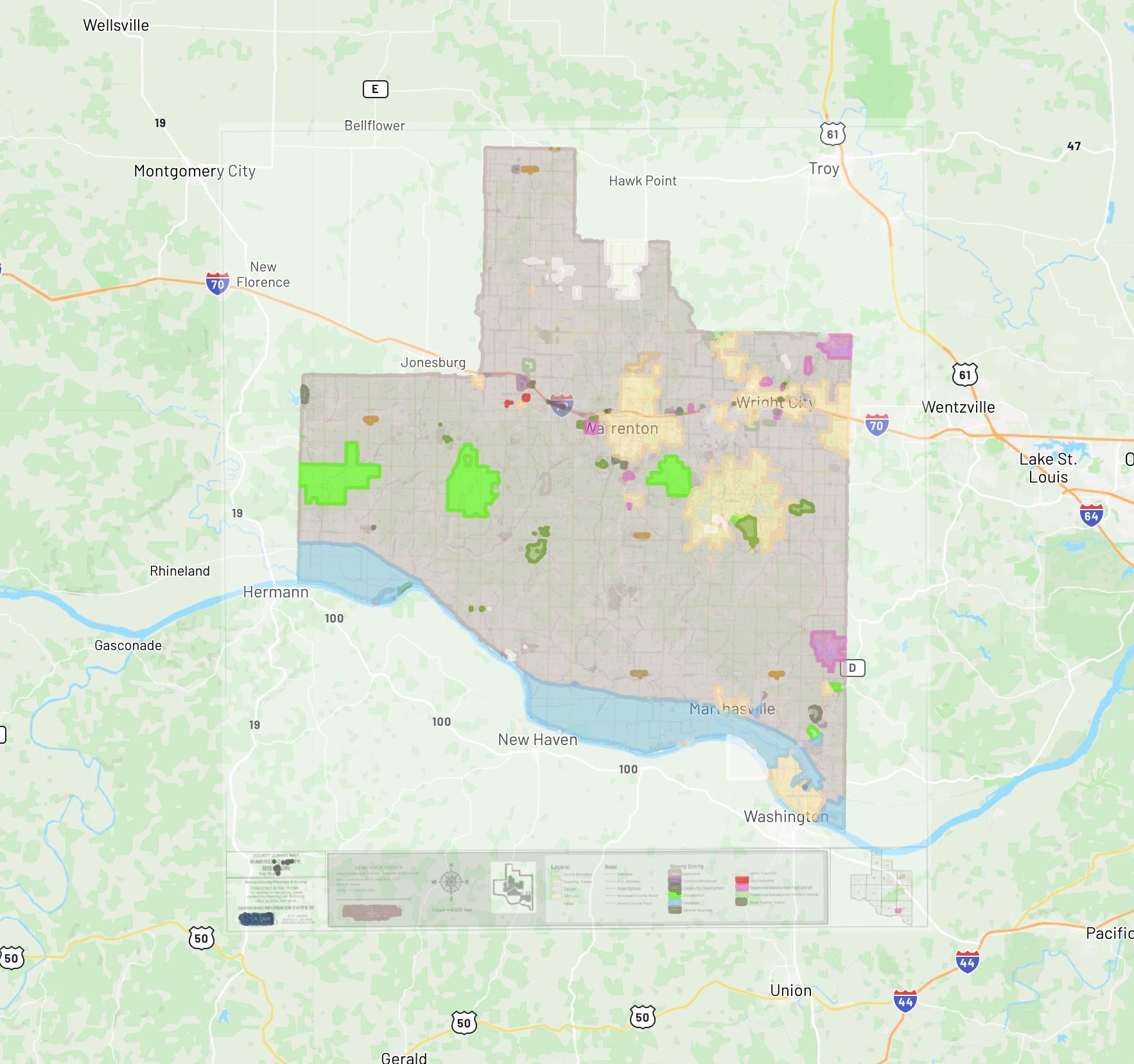
Digitize Layers
meriwether_zoning_map.png
Zoning Districts
Parcel Boundaries
Road Centerlines
Municipal Limits
Output goes straight into the systems you already use.
GeoTIFF, Shapefile, GeoJSON, structured JSON, CSV. Direct integration with ArcGIS, Leapfrog, and any GIS or data management platform. Full audit trail from source scan to database record. Nothing changes in your workflow.
Request a demoExport & Integrate
3 outputs ready
Select format
Send to